Bosque Freestyle One
The Bosque at Coors and Montaño
Distance: Runner’s Choice
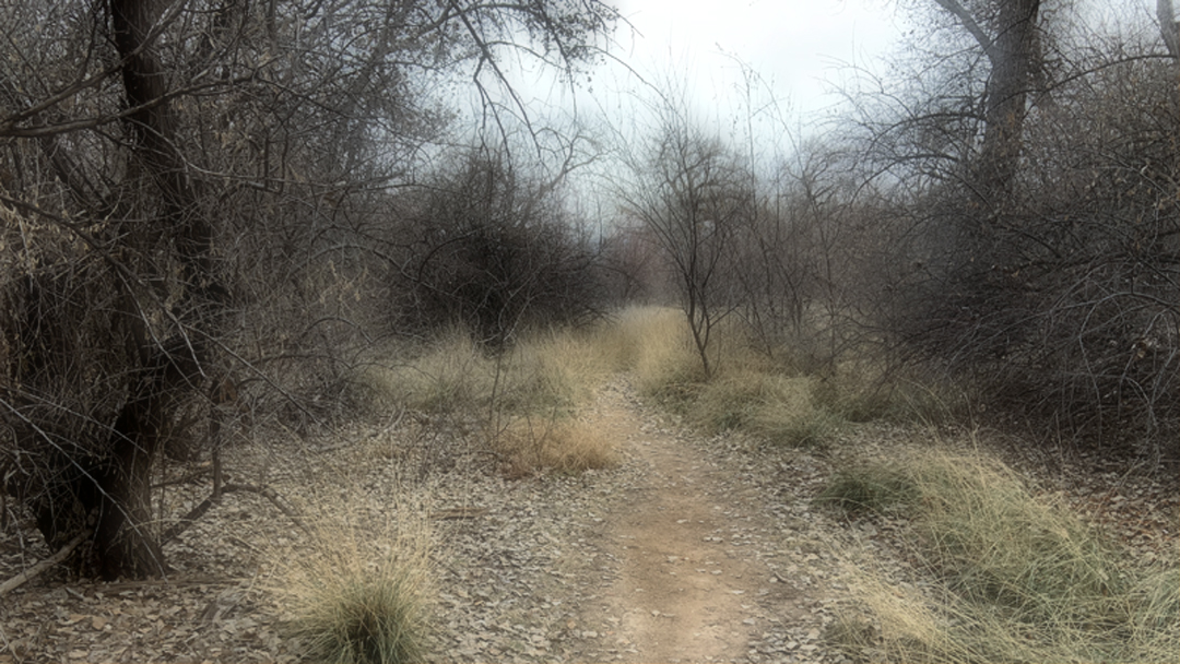
Surface: Dirt roads and trails
Freestyle running is running for the love and enjoyment of it. It is the kind of run where you have no defined route or goal. Let whim carry you like a leaf floating in the breeze.
“Somewhere behind the athlete you’ve become and the hours of practice and the coaches who have pushed you is a little girl who fell in love with the game and never looked back… play for her.”
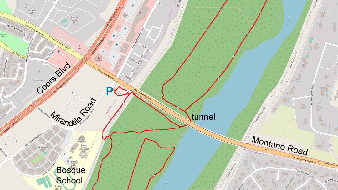
Parking is located at the Pueblo Montaño Picnic Area and Trailhead on the east side of Mirandela Road just off Montaño Road. If you are traveling on Montaño there is turn lane access located 0.15 miles east of Coors Blvd.
Leaving after the run you can only turn east on Montaño. To stay on the west side of the Rio Grande you will have turn south on Mirandela when leaving the parking lot. Mirandela will wind around to Coors Blvd.
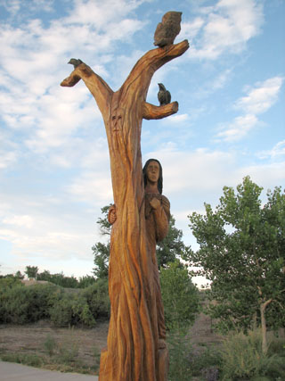
This picnic area is known for its interesting Chainsaw scuptures.
Route Description
Bosque Freestyle One is not a route, it is an algorithm. The run starts in the parking lot of the Pueblo Montaño Picnic Area and Trailhead (map). Bosque access is a easy as walking through the picnic area and sculpture garden.
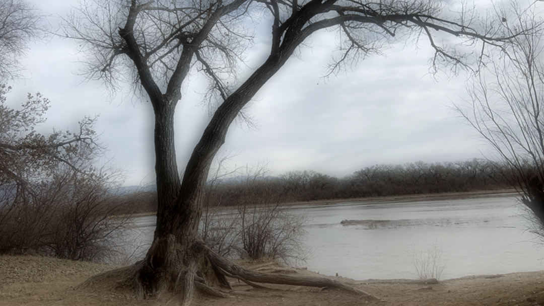
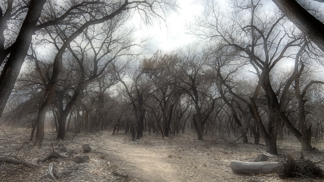
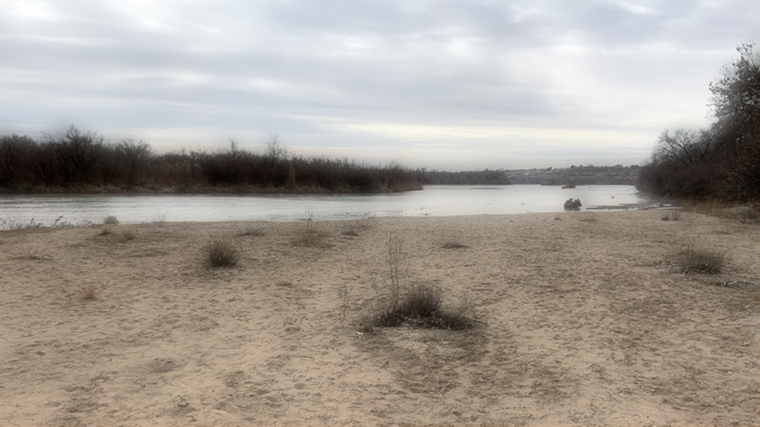
The Bosque is one of the world’s great parks. Its Cottonwood grove follows the Rio Grande on both sides for 15 miles within the city of Albuquerque. Its natural beauty and awe is revealed over the seasons of the year.
It is not possible to see everything at once. It becomes a different world as the seasons pass from winter to autumn. Late at on a cold cloudy winter’s night the ambient city light reflecting off the clouds illuminates a stark reality you will see no other time. There are so many variables that in the right light everything will look different. Being in Bosque never gets old.
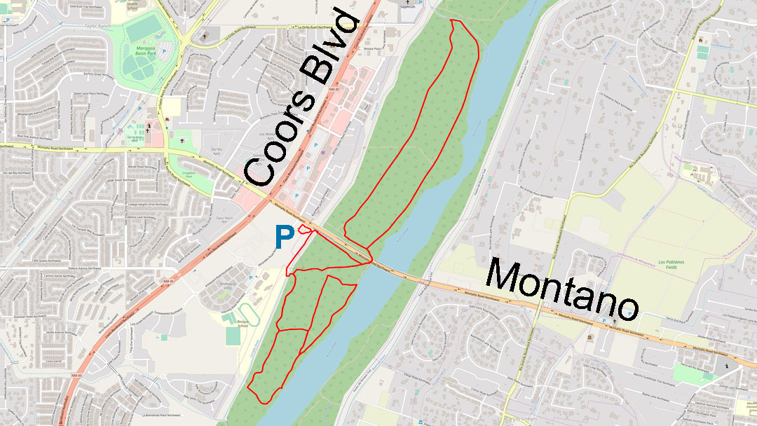
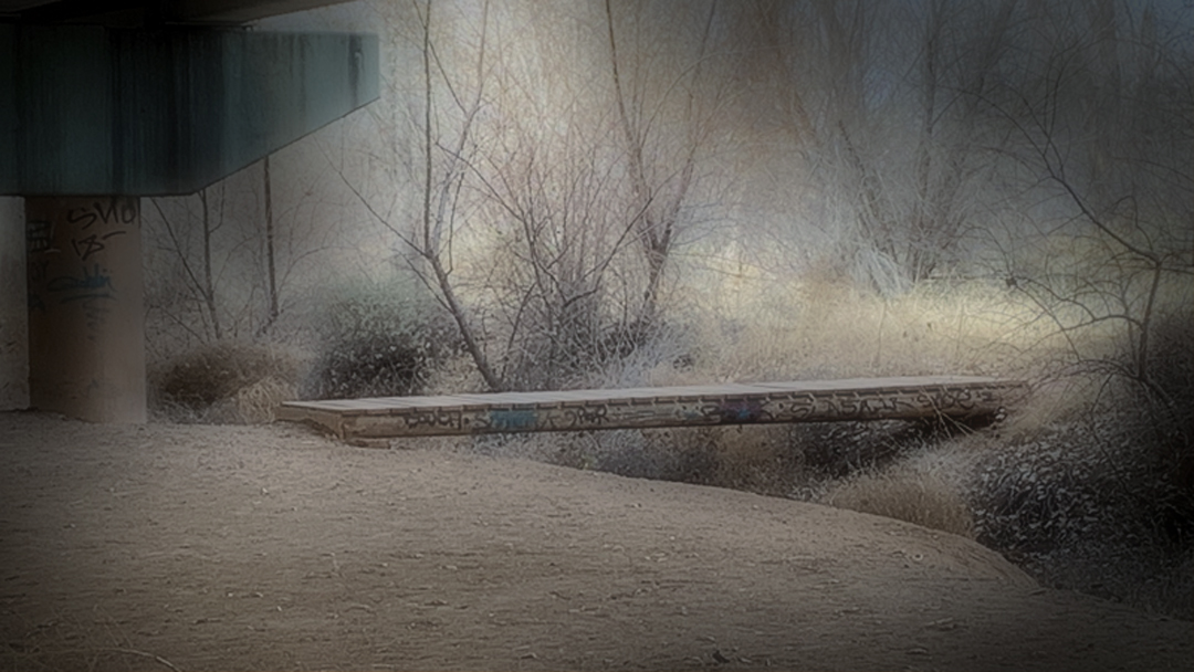
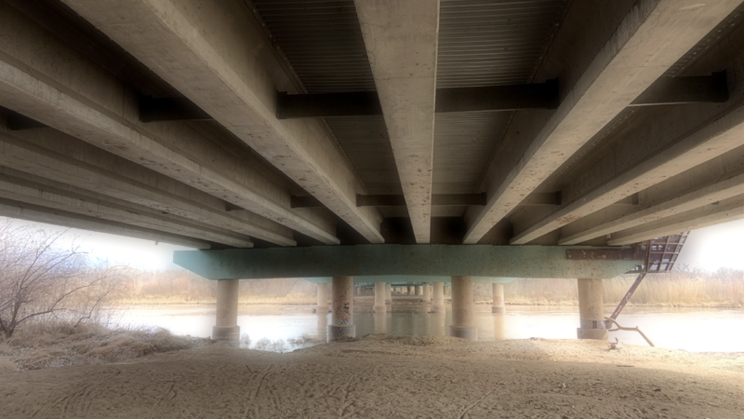
The area of our interest runs 0.7 miles south and 1 mile north of Montaño. Getting to the north side of Montaño is accomplished by going under the bridge. Many people will run the trails to the south and as they become familar with them they will ventrue north going under the Montaño bridge.
Look at the map of the area before venturing into the Bosque. The main trails are shown as dashed lines. Once you get running let the wind be your guide and whim make the decision on which way to go. Happy Trails!

