
Cabezon Snake
Rio Rancho
Distance: 3.25 miles
Surface: Asphalt
Elevation Gain: 174 feet

There are many things that are nice about running the Snake. In most cases anything that winds is more interesting than a straight line. In one direction the route is almost totally uphill, providing a continuous challenge. If it gets too easy, run faster. The ambiance is peaceful.
“I was not expecting this, but I felt my body was moving, moving, moving so I went for it. This is amazing for me.” On breaking Paula Radcliffe's world marathon record set in 2003.

Route Description
-
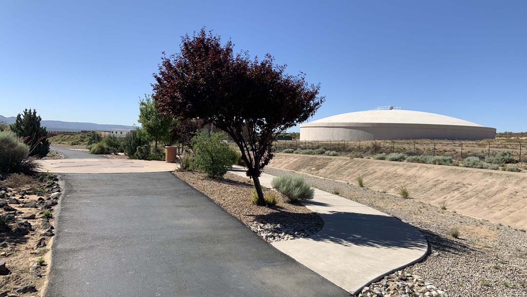
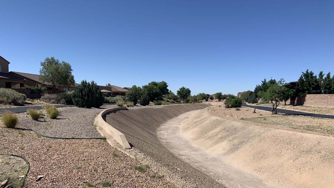
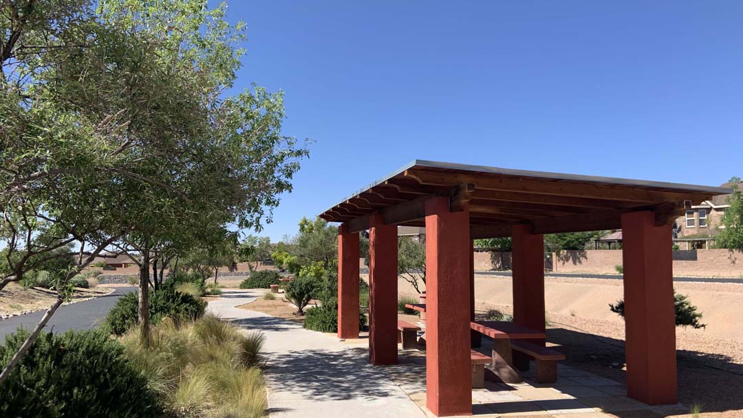
The parking lot for this route is located at the end of "A Park Above" Court, which is just off Westside Blvd in the vicinity of Presbyterian's Rust Medical Center. A Park Above is a park for children and their parents. The public lot is across the street from the park. It is easy to locate the Linear Park Trail which follows the arroyo on both sides.
-
The run begins on the west side of the arroyo. Not far from the start is a bridge which crosses the arroyo. Take it. Once over the bridge turn south. It won't be long before you come to fork. On the right will be a sidewalk that goes around a tree. Take it. This is a very short segment that returns to the trail. You will see a sundial, actually you will run over it. Return to the bridge, cross over to the west side of the arroyo and rejoin the trial. Run north.
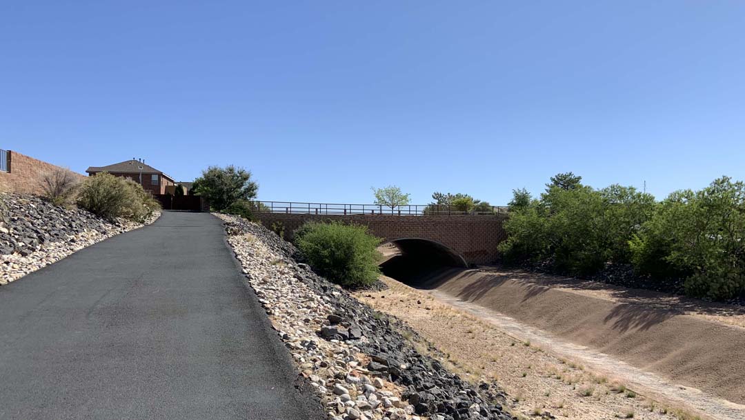
- You will see in the distance an overpass. This will be where Cabezon Blvd crosses over the arroyo. The trail runs up a ramp to the intersection. Cross the intersection and on the other side the trail will return and follow the arroyo north.
-
The next segment runs between Cabezon Blvd and 14th Street. The trail runs up a ramp to the intersection with 14th Street. This is the point that 14th Street changes its name to Chianti Drive once the road crosses over to the east side of the arroyo.
-
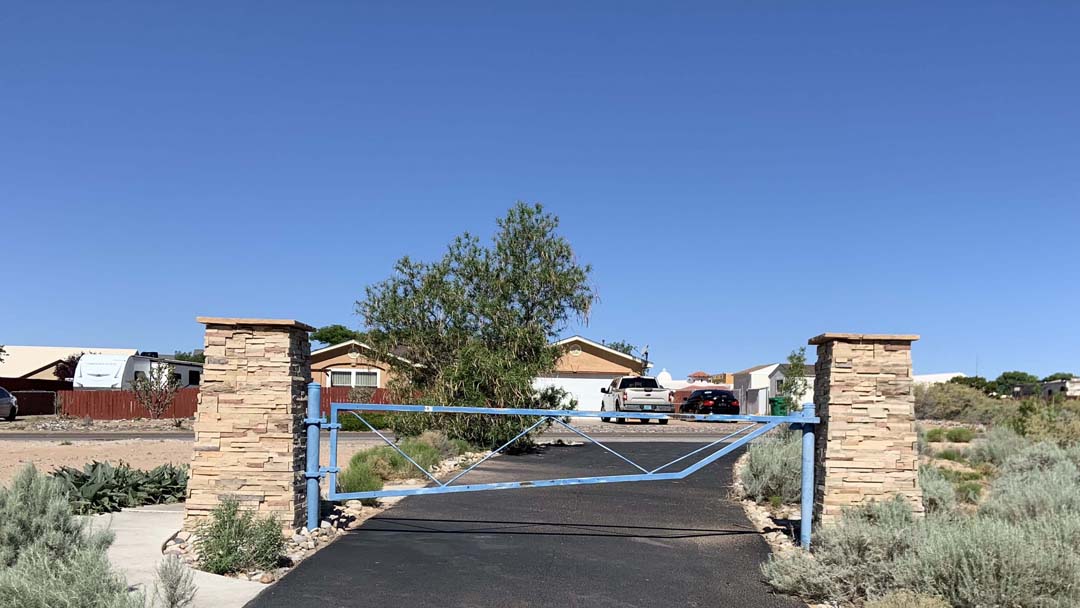
The segment from 14th Street going north will eventually turn to west until it arrives at a gate. This is the end of the trail on the west side of the arroyo. Go around the gate until you reach 27th Street. This is the second turnaround point.
-
It is downhill to the parking lot. "What goes up, must come down."