
Dragon’s Back Classic Route
Ojito Wilderness
Distance: 8.00 miles
Surface: Trail
Elevation Gain: 1230 feet

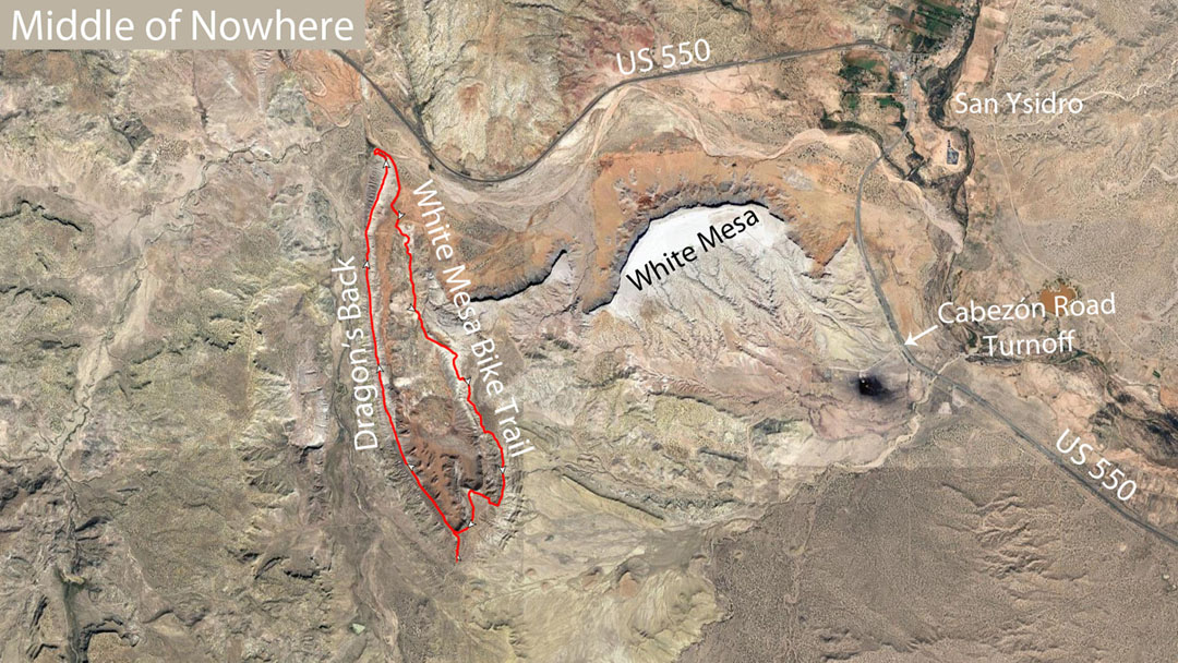
The Ojito is what some people call the greater area where the White Ridge Bike Trails are located. The land is managed by the BLM and contrary to its name, it is also open to hikers and by inference runners.
That wall is your mind playing tricks on you. You just need to say, ‘One more step, I can do this. I have more in me.’ You’ll be so proud of yourself once you push yourself past your threshold.
Route Description
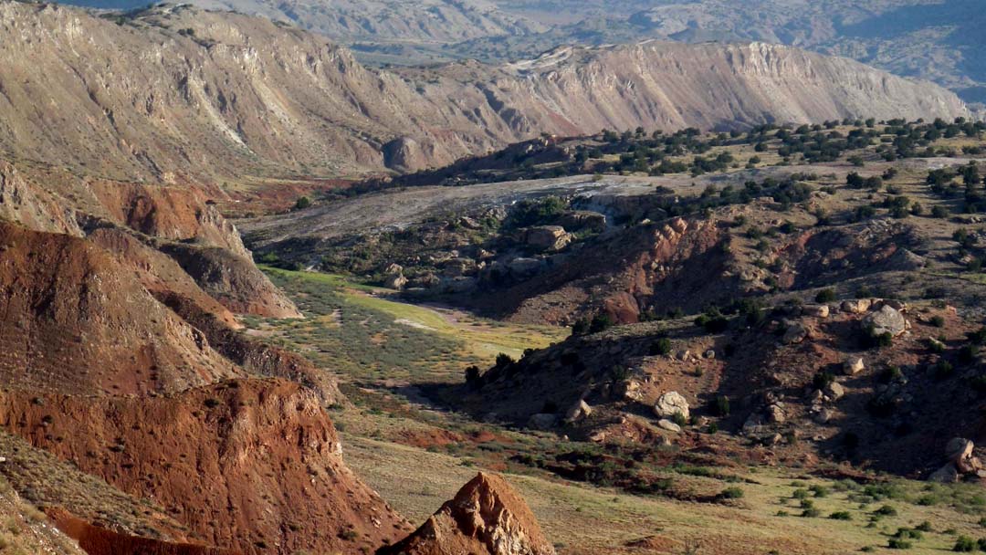
Nature tells a story here in the Ojito, not in words, but in a language that takes all of our senses to hear. I am talking about something real, a physical reality. A reality that hunters, gathers and farmers understand. A reality that our technological world insulates us from.
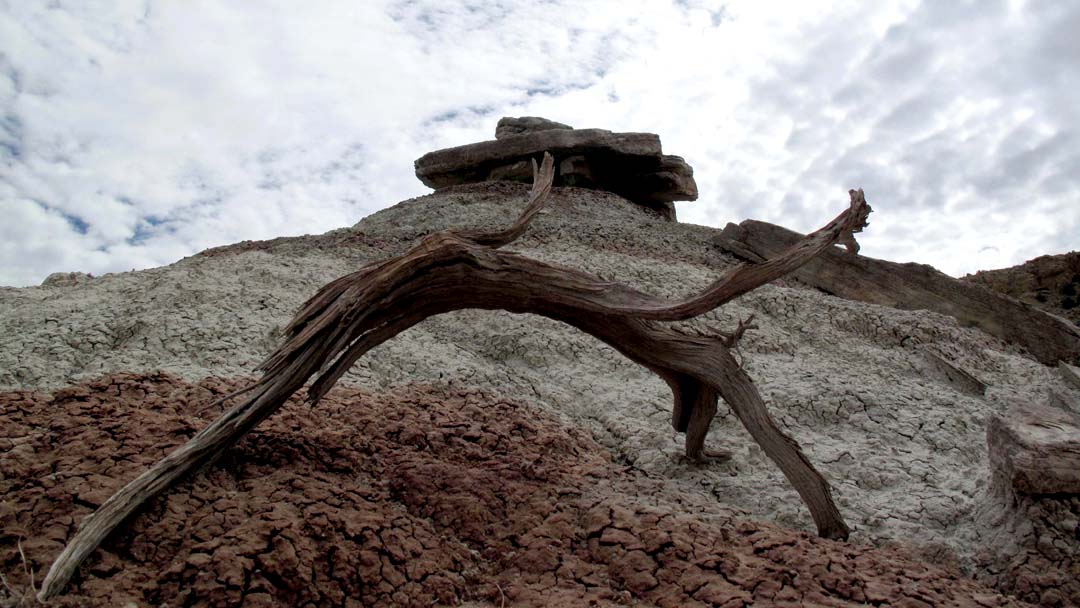
It is a harsh, but a beautiful reality, that has been formed by the life and death of plants, the wind, the rain, the movement of the earth and things I don’t even understand. The colors are amazing, perfectly balanced, so simple, so rich they can’t be duplicated at Home Depot. The terrain is composed of surreal textures, created in lines and shapes that artist’s can only dream of
I call it perfection
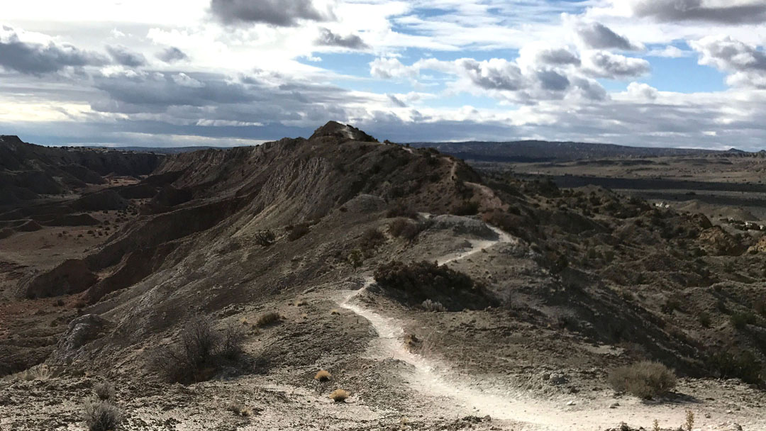
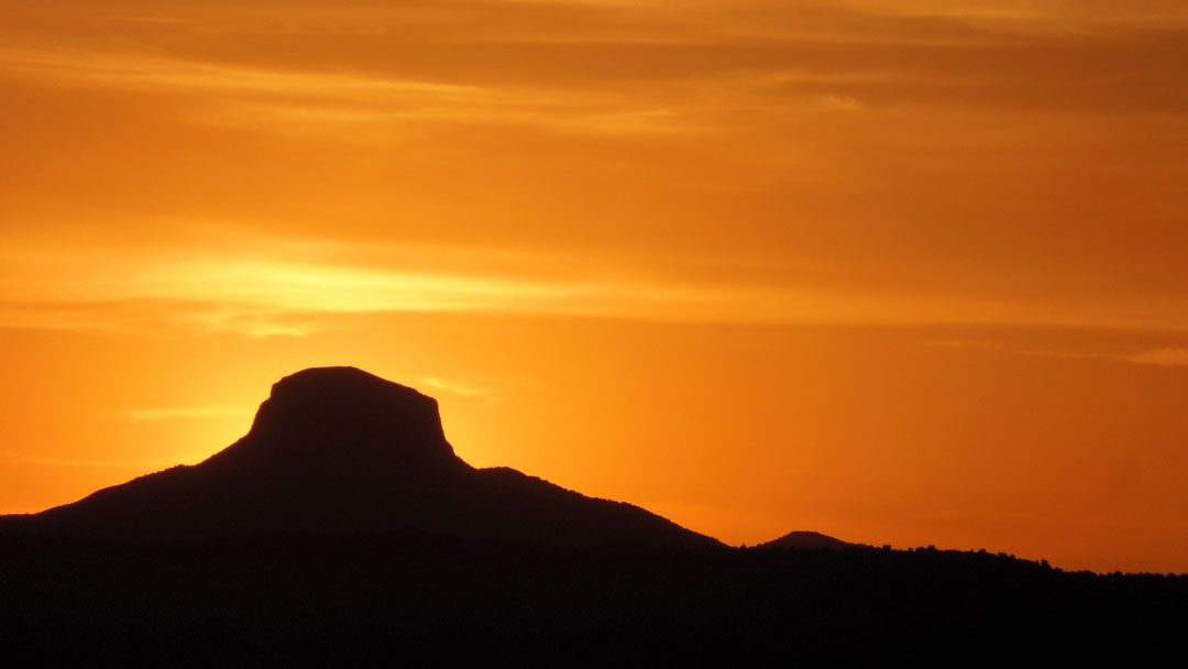
It is a breathtaking place to run
Trail running is fun and challenging, but it can also be dangerous depending on the difficulty of the terrain. You run at your own risk. When conditions on the trail call for caution, there is no such thing as too slow. When in doubt, dial it down a notch or two. There may be times that it is prudent to walk. Keep in mind that this run is in a remote area, so help may be a some time coming. Always choose safety.
Have fun, be safe and let the light shine on thee!
- Usually it is best to run navigate the route once with someone that knows it, but you will have no problem if you have reasonable navigation skils.
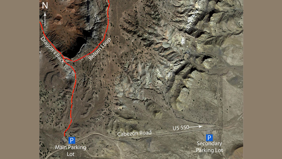
- There is a map in the parking lot that will give you an idea of the location of Dragon’s back. There should be signage along the way. If you don’t see it, bear left at the first two junctions. You will know Dragon’s Back when you see it.
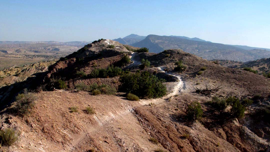
- Dragon’s back is about 3.25 miles in length. The terrain is rolling. Keep in mind that the trail is shared with cyclists, but there numbers are few due to the difficulty of the trails.
- When you get close to end of Dragon’s Back you will descend into a gap. When you cross the gap there is short scramble up about 25 feet. You are now on the hardest part of the route. Once out of the gap, the elevation gain will tax the cardio system, so it might be run/walk or walk for a bit. The decent at the end of Dragon’s back is steep and you must use caution.
- At the base of Dragon’s back is a dirt road. Follow it around the end of Dragon’s back and into the valley. The road will run across the valley and up the middle formation. Follow the road for a mile or so. If you like suffering this segment is made for you.
- Eventually, you will come to a fork. There will be signage. Take the road north.
- Not far the road will bear easterly. A valley will open up on the south side of trail. Follow the trail along the edge. Watch there are a few side trails that are dead ends. If you take one just consider it extra credit.
- At the end of the valley run to the south. At the first fork go to the right, which will take you to the highest point in the White Ridge area, stop for the view.
- Returning to the parking lot you might feel lost because of the lack of signage. Don’t worry, be happy. The parking lot is downward and to the south. All of the trails will get you there.