
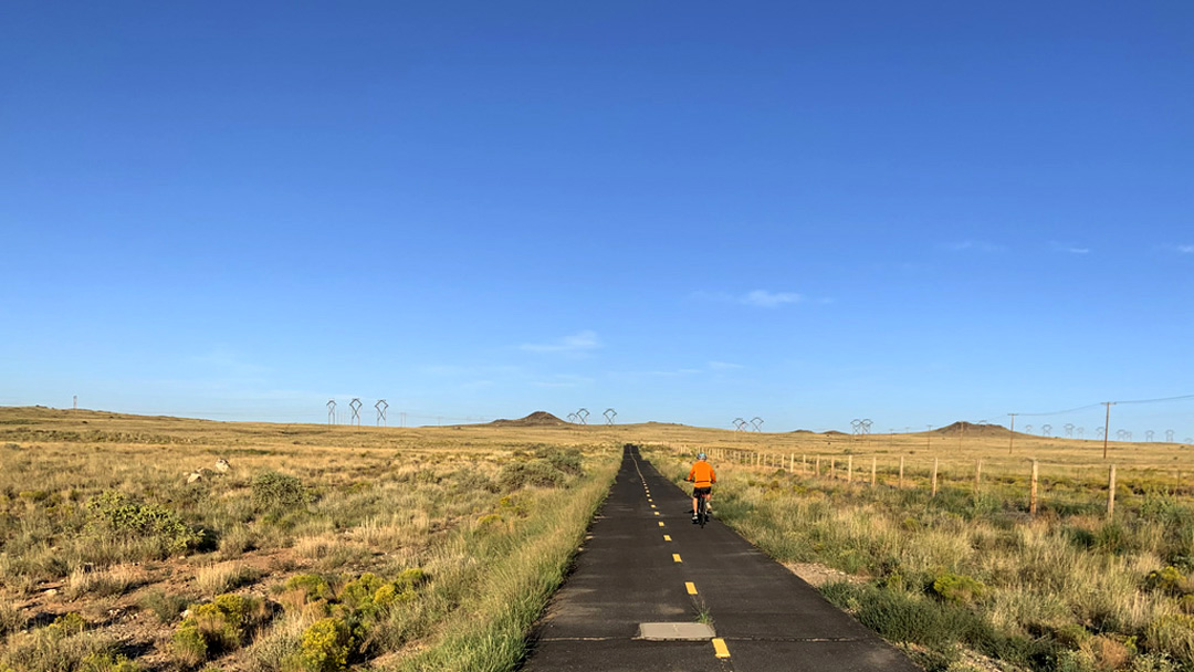
Paseo de la Mesa Trail
West Mesa
Distance: 4.12 miles (one-way)
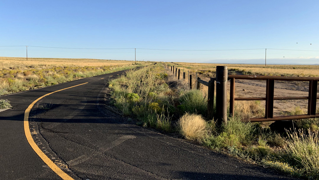
Surface: Asphalt
Elevation Gain: 531 feet

The Paseo de la Mesa Trail is located on Albuquerque's West Mesa. This run is chalanging given over 500 feet of elevation gain. Run walk the distance if you are a beginner, sooner or later you will run the entire route.
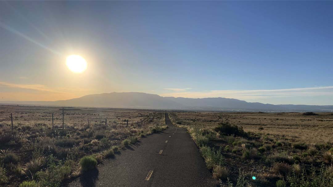
Route Description
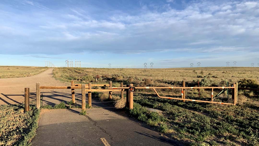
There are parking lots at each end of the Paseo de la Mesa Trail.
Directions to the eastern end parking lot:
- From intersection of Montano Road and Unser Boulevard NW, proceed north on Unser up through the escarpment-cut;
- At top of grade, look to the west for big water tanks and prepare to turn.
- Turn west on Molten Rock and prepare to turn south.
- Turn south on 81st Street;
- Proceed south on 81st Street a short ways to trail head entry and turn right/west into trail head parking-lot;
- Follow directional signs from 81st and Molten Rock to lot.
Directions to the western end parking lot:
- Take Paseo del Norte Blvd west until the road turns south and becomes Atrisco Blvd.
- About 0.6 miles on the east side of Atrisco Blvd there is a dirt road leading to the parking lot. There should be a sign indicating the Paseo de la Mesa Open Space.
- The parking lot is a little more than 0.1 miles from the turn off.
- City of Albuqueque's Paseo de la Mesa Trail info page.
Run Details:
- The run is in three segments.
- Segment 1 runs for 1.7 miles uphill from the eastern end parking lot. The slope or grade will vary, but the route at this point is essentaily all elevation gain.
- At mile 1.7 the middle segment begins as the route runs north over rolling terrain.
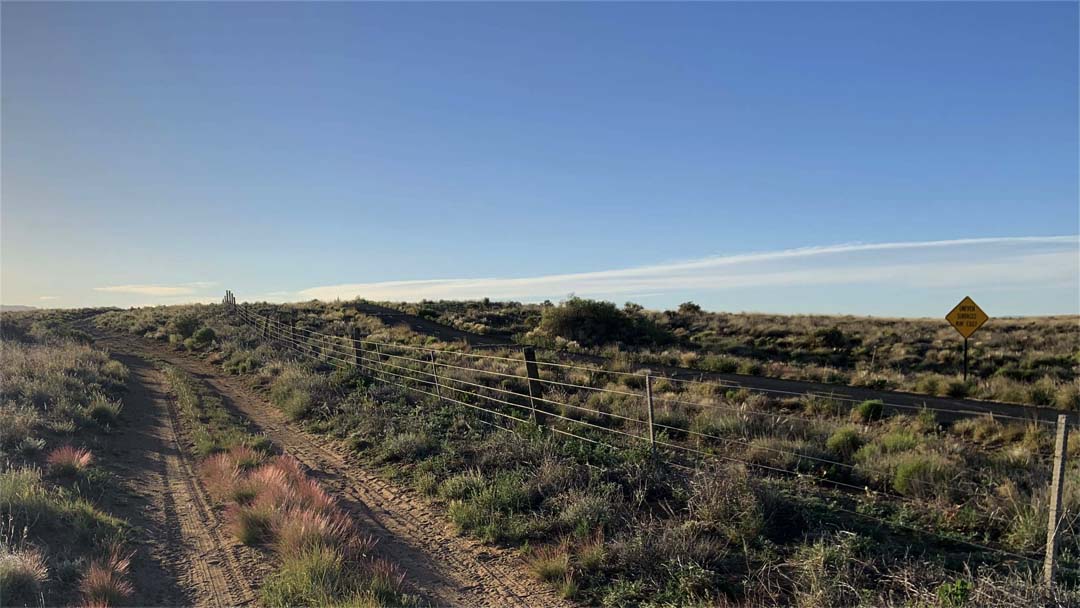
- The third segment runs uphill over the final mile except for a short downhill section just before the trunaround point.